Search
Now showing items 1-10 of 13
Potentials for different models for freshwater aquaculture development in the Red River Delta (Vietnam) using GIS analysis
Type: Journal Article
This study was an attempt to apply land-based GIS analysis for freshwater aquaculture planning in the Red River Delta of Vietnam. It was based on diverse data sources in order to help decision makers at the site and also ...
GIS mapping of pond aquaculture potential in Henan province, China
Type: Brief
Freshwater aquaculture development in Henan province is uneven, with more intensive systems occurring in the Huanghe basin while the southern part is relatively underdeveloped and is the target for improving productivity ...
GIS-based modeling in greater Mymensingh for sustainable aquaculture development and management: final report
Type: Report
The purpose of this study was to identify the potential site for sustainable aquaculture development in Mymensingh district using GIS as a tool.
Remote sensing and field assessment of tsunami effects on coastal pond aquaculture in northern Sumatra
Type: Journal Article
An attempt was made to conduct spatial assessment of the pattern and extent of damage to coastal aquaculture ponds along the east coast of Aceh province in Sumatra, Indonesia, resulting from the tsunami event of 26 December ...
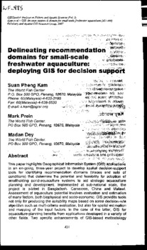
Delineating recommendation domains for small-scale freshwater aquaculture: deploying GIS for decision support
Type: Book Chapter
This paper highlights Geographical Information System (GIS) applications in an on-going, three-year project to develop spatial decision-support tools for identifying recommendation domains (places and sets of conditions) ...
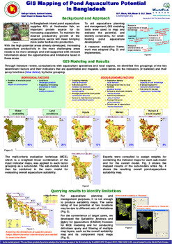
GIS mapping of pond aquaculture potential in Bangladesh
Type: Brief
In Bangladesh inland pond aquaculture supplies 45% of freshwater fish, an important protein source for its increasing population. To maintain the desired productivity growth of the aquaculture sector will mean bringing ...

CBD 2010 target: a case study of Kolleru Wetland (Ramsar Site), India using remote sensing and GIS
Type: Journal Article
Regular monitoring of wetlands is an essential element of management for 'wise use'. Indeed, the Ramsar convention requires routine monitoring in order to detect changes in the ecological character at listed sites. However, ...
Determining high potential aquaculture production areas: analysis of key socio-economic adoption factors
Type: Conference Paper
Global aquaculture production increased with an average rate of 10% per year since 1990 and 90% of aquaculture production comes from developing countries thus providing livelihood and income especially to marginal groups ...
Landscape level characterization of seasonal floodplains under community based aquaculture: illustrating a case of the Ganges and the Mekong Delta
Type: Working Paper
The project 'Community-based Fish Culture in Seasonal Floodplains' (henceforward the community-based fish culture project), CGIAR Challenge Program on Water and Food, aims to enhance fish production in seasonal floodplains ...
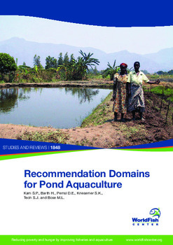
Recommendation domains for pond aquaculture
Type: Working Paper
This publication introduces the methods and results of a research project that has developed a set of decision-support tools to identify places and sets of conditions for which a particular target aquaculture technology ...