Search
Now showing items 1-10 of 13
Potentials for different models for freshwater aquaculture development in the Red River Delta (Vietnam) using GIS analysis
Type: Journal Article
This study was an attempt to apply land-based GIS analysis for freshwater aquaculture planning in the Red River Delta of Vietnam. It was based on diverse data sources in order to help decision makers at the site and also ...
Assessing forest canopy closure in a geospatial medium to address management concerns for tropical islands: Southeast Asia
Type: Journal Article
The present study outlines an approach to classify forest density and to estimate canopy closure of the forest of the Andaman and Nicobar archipelago. The vector layers generated for the study area using satellite data was ...
MAPPER, a low-level geographic information system
Type: Journal Article
A Low-Level Geographic Information System (LL-GIS) was developed to provide a simple low-cost mapping program which can be executed in any personal computer, by individuals with different levels of knowledge in computing. ...
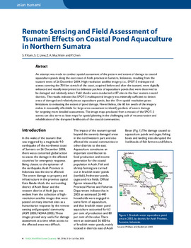
Remote sensing and field assessment of tsunami effects on coastal pond aquaculture in northern Sumatra
Type: Journal Article
An attempt was made to conduct spatial assessment of the pattern and extent of damage to coastal aquaculture ponds along the east coast of Aceh province in Sumatra, Indonesia, resulting from the tsunami event of 26 December ...

CBD 2010 target: a case study of Kolleru Wetland (Ramsar Site), India using remote sensing and GIS
Type: Journal Article
Regular monitoring of wetlands is an essential element of management for 'wise use'. Indeed, the Ramsar convention requires routine monitoring in order to detect changes in the ecological character at listed sites. However, ...
Analysis of village accessibility and its impact on land use dynamics in a mountainous province of northern Vietnam
Type: Journal Article
Surveys carried out in mountainous areas of northern Vietnam at research sites selected across a gradient of market integration, revealed strong relationships between the location of the village with respect to the national ...
Assessment of forest fragmentation and species diversity in North Andaman Islands (India): a geospatial approach
Type: Journal Article
The present study was carried out in the context of conservation biology research, focusing on the species diversity in the fragmented landscapes of island ecosystem. The study analyzed the levels of forest fragmentation ...
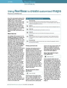
Using ReefBase to create customized maps
Type: Journal Article
One of the most popular sections of the ReefBase website is the online GIS that enables users to create an almost unlimited range of maps showing a wide variety of features. A new version of the GIS, offering an even larger ...
A low-level geographic information system for coastal zone management with applications to Brunei Darussalam: Part III:: simulation and tracking oil spills
Type: Journal Article
B:RUN is a low-level GIS software designed to help formulate options for the management of the coastal zone of Brunei Darussalam. This contribution presents the oil spill simulation module of B:RUN. This simple module, ...
Explaining climate variability vis-a-vis spatio-temporal interactions in Bangladeshi Exclusive Economic Zone (BEEZ)
Type: Journal Article
We present an application of time series remote sensing data and climatological information for improved understanding of complexity in the Bangladeshi Exclusive Economic Zone (BEEZ). Three seasonal slots from the annual ...