Search
Now showing items 241-246 of 246
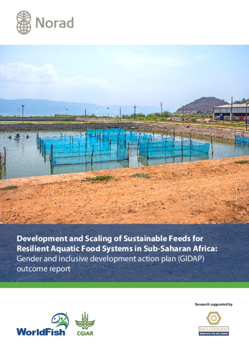
Development and Scaling of Sustainable Feeds for Resilient Aquatic Food Systems in Sub-Saharan Africa: Gender and inclusive development action plan (GIDAP) outcome report
Type: Report
FASA conducted GESI assessments for each country, revealing barriers and inequalities limiting the
participation of women, youths and marginalized groups in the aquaculture sector. The assessment identified
gaps in policies, ...
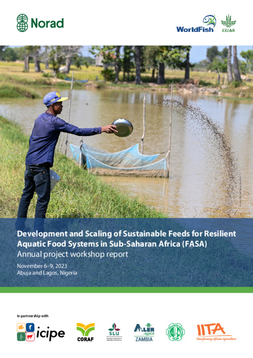
Development and Scaling of Sustainable Feeds for Resilient Aquatic Food Systems in Sub-Saharan Africa (FASA): Annual project workshop report
Type: Internal Report
On November 6–9, 2023, the Development and Scaling of Sustainable Feeds for Resilient Aquatic Food
Systems in Sub-Saharan Africa (FASA) project held its most recent annual workshop at the Rockview Hotel
in Abuja, Nigeria. ...
Small reservoirs in the Northern regions of Ghana and their vulnerability to drying
Type: Internal Report
This study investigates the dynamics and susceptibility to drying of small reservoirs in Northern Ghana, leveraging advanced machine learning and remote sensing techniques through Google Earth Engine. It aims to map these ...
Fish cage culture in small water bodies in North East Region of Ghana: Technical and institutional guiding principles for sustainable and inclusive uptake
Type: Brief
The CGIAR Initiative on Aquatic Foods partnered with the Council for Scientific and Industrial Research’s Water Research Institute (CSIR-WRI), the Fisheries Commission, and collaborated with local government departments ...

Projections and impact assessment of the local climate change conditions of the Black Volta Basin of Ghana based on the Statistical DownScaling Model
Type: Journal Article
The uncertainties and biases associated with Global Climate Models (GCMs) ascend from global to regional and local scales which delimits the applicability and suitability of GCMs in site-specific impact assessment research. ...
A machine learning algorithm for mapping small reservoirs using Sentinel-2 satellite imagery in Google Earth Engine
Type: Internal Report
This report outlines an advanced methodology for mapping small reservoirs in Northern Ghana, utilizing Sentinel-2 satellite imagery and Google Earth Engine. Aimed at enhancing mapping accuracy by reducing cloud contamination, ...