Search
Now showing items 11-20 of 25
Landscape level characterization of seasonal floodplains under community based aquaculture: illustrating a case of the Ganges and the Mekong Delta
Type: Working Paper
The project 'Community-based Fish Culture in Seasonal Floodplains' (henceforward the community-based fish culture project), CGIAR Challenge Program on Water and Food, aims to enhance fish production in seasonal floodplains ...
Analysis of village accessibility and its impact on land use dynamics in a mountainous province of northern Vietnam
Type: Journal Article
Surveys carried out in mountainous areas of northern Vietnam at research sites selected across a gradient of market integration, revealed strong relationships between the location of the village with respect to the national ...
Assessment of forest fragmentation and species diversity in North Andaman Islands (India): a geospatial approach
Type: Journal Article
The present study was carried out in the context of conservation biology research, focusing on the species diversity in the fragmented landscapes of island ecosystem. The study analyzed the levels of forest fragmentation ...
Using ReefBase to create customized maps
Type: Journal Article
One of the most popular sections of the ReefBase website is the online GIS that enables users to create an almost unlimited range of maps showing a wide variety of features. A new version of the GIS, offering an even larger ...
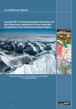
Mountain GIS: promoting geographic information and earth observation applications for the sustainable development of the Hindu Kush-Himalayan region
Type: Conference Paper
The Hindu Kush-Himalayan (HKH) region, home to the largest concentration of glaciers outside of the polar region, is the ‘water-tower’ of Asia. The HKH mountain ecosystem provides life support services to almost a third ...
A low-level geographic information system for coastal zone management with applications to Brunei Darussalam: Part III:: simulation and tracking oil spills
Type: Journal Article
B:RUN is a low-level GIS software designed to help formulate options for the management of the coastal zone of Brunei Darussalam. This contribution presents the oil spill simulation module of B:RUN. This simple module, ...
Explaining climate variability vis-a-vis spatio-temporal interactions in Bangladeshi Exclusive Economic Zone (BEEZ)
Type: Journal Article
We present an application of time series remote sensing data and climatological information for improved understanding of complexity in the Bangladeshi Exclusive Economic Zone (BEEZ). Three seasonal slots from the annual ...
Remote sensing and GIS for wetland inventory, mapping and change analysis
Type: Journal Article
A multiple purpose wetland inventory is being developed and promoted through partnerships and specific analyses at different scales in response to past uncertainties and gaps in inventory coverage. A partnership approach ...
Recommendation domains for pond aquaculture
Type: Working Paper
This publication introduces the methods and results of a research project that has developed a set of decision-support tools to identify places and sets of conditions for which a particular target aquaculture technology ...
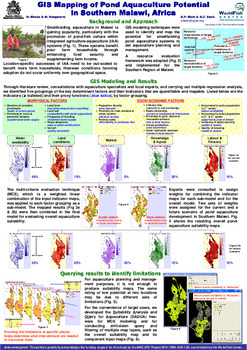
GIS mapping of pond aquaculture potential in southern Malawi, Africa
Type: Brief
Smallholding aquaculture in Malawi is gaining popularity, particularly with the promotion of pond-fish culture within integrated agriculture-aquaculture (IAA) systems. These systems benefit poor farm households through ...